October 23, 2018
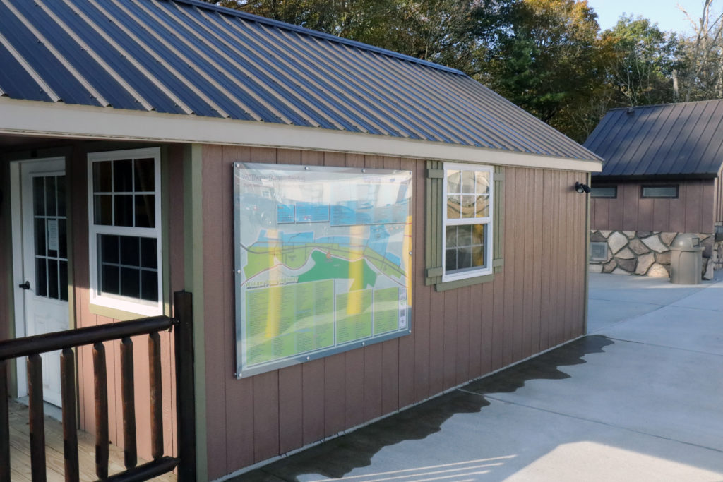
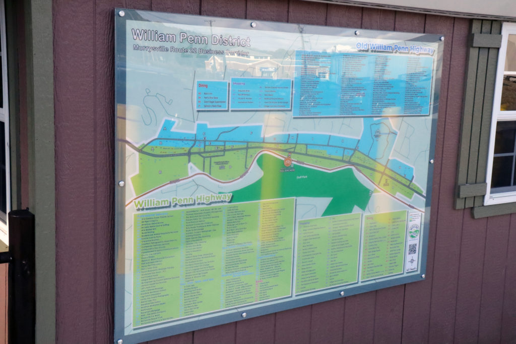
The MECDC installed a map of businesses located in the WILLIAM PENN DISTRICT. This helpful map identifies the area located between the Monroeville/Murrysville border along the New and Old William Penn Highway to the shopping plazas at Cline Hollow Road.
Naming and locating all the different professional services, retail shopping and restaurants accessible from the bike trail. The MECDC will periodically reprint the map to update the current businesses as the town continues to grow.
This directory is located at the Robert’s Trail head Visitor Center parking lot.
CLICK HERE for larger detail of latest version of map.
You can view the latest up-to-date electronic version of the map using the MEET MURRYSVILLE app.
https://meetmurrysville.com/william-penn-district-2/
Click here for instructions how to download the app to your phone:
https://meetmurrysville.com/download/

